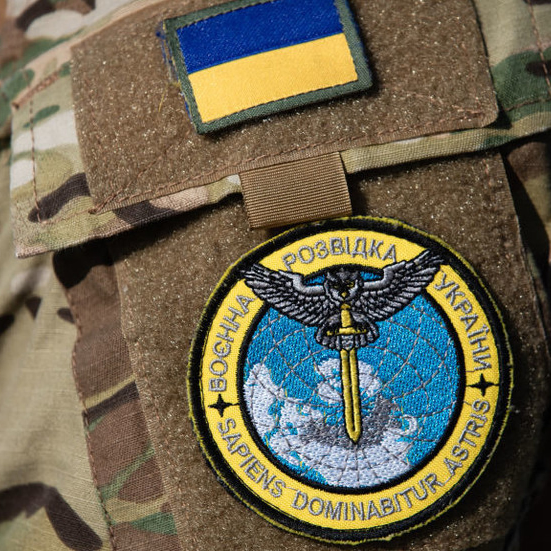
U.S. to Train Ukraine on Geospatial Software for Military Operations
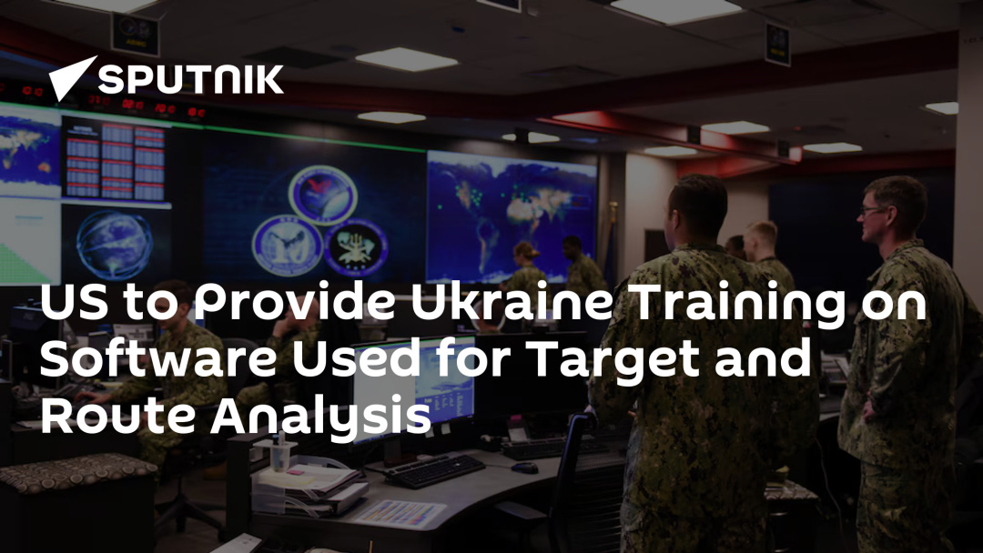
The U.S. National Geospatial-Intelligence Agency (NGA) has initiated a procurement process to deliver training on commercial geospatial software to Ukraine. This decision, revealed through public records on the U.S. federal contracting portal, aims to enhance Ukraine's military capabilities in target analysis and logistics management.
According to a formal procurement notice published on September 11, 2026, the NGA intends to purchase 145 daily training passes for the proprietary ArcGIS software developed by the Environmental Systems Research Institute (ESRI). The training is scheduled to take place from September 21, 2026, to September 20, 2027. This procurement is part of the U.S. Building Partner Capacity framework, which facilitates the training and equipping of foreign military partners.
The procurement has been designated as sole source due to ESRI's proprietary ownership of the software. However, the notice allows certified commercial resellers to submit competing quotes before the submission deadline on September 18, 2026. While the order is described as commercial technical instruction, the documentation indicates that the software is utilized for combat intelligence and operational planning.
Capabilities of ArcGIS for Military Strategy
In an analysis from October 2024, ESRI's national security engineers highlighted that the ArcGIS platform enables military commanders to monitor and analyze adversary supply lines. This capability allows for the identification of critical choke points and logistics bases, which can be targeted to disrupt enemy operations. The software also includes features for spatial analysis, evaluating terrain and infrastructure to determine optimal movement routes.
Final Brief
Additionally, the system is designed to adhere to international rules of engagement, incorporating geographic data on civilian populations and protected sites. This functionality aims to mitigate collateral damage and assist military planners in avoiding civilian casualties during operations.
The training initiative reflects the ongoing support from the U.S. to enhance Ukraine's defense capabilities amid ongoing conflicts. By equipping Ukrainian forces with advanced geospatial analysis tools, the U.S. aims to bolster their operational effectiveness in the field.