Successful GPS-Free Flight Test Advances Quantum Navigation Technology
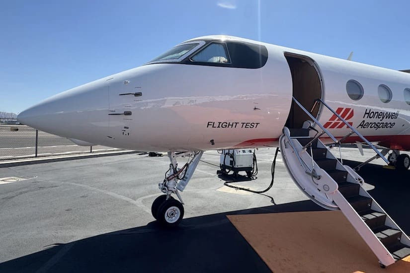
The Defense Innovation Unit (DIU) has marked a significant milestone in aviation technology with a successful flight test demonstrating that aircraft can navigate vast stretches of ocean without relying on GPS. This groundbreaking achievement is part of the MagNav program, which utilizes quantum sensing to enhance navigation capabilities. Kyle Norman, deputy director of DIU’s Kill Web portfolio, emphasized the importance of this success, stating that it showcases the capabilities of MagNav as a practical solution rather than a distant research goal.
Launched in spring 2024, the MagNav program attracted applications from 72 companies, with Honeywell Aerospace selected to develop the prototype. The system employs quantum sensors to interpret the Earth's natural magnetic field, creating an invisible, unjammable map that allows pilots to navigate safely, irrespective of weather conditions or the availability of GPS.
Norman noted that the Earth's magnetic field cannot be spoofed or blocked by adversarial forces, marking a significant improvement over traditional backup navigation methods like radar mapping or visual cues. The successful test involved an Embraer 170 aircraft flying from Seattle’s Puget Sound to southern Alaska and back, covering a distance over the Pacific Ocean without GPS.
During the four-hour and 23-minute flight, the MagNav system achieved an impressive 89% improvement in position accuracy compared to conventional navigation methods. The navigation data was streamed directly to the pilots via standard tablets, demonstrating that military personnel can utilize this technology without extensive modifications to existing cockpit instruments.
The test also presented the challenge of navigating over the featureless ocean surface, which typically requires internal sensors in the absence of GPS. Classical sensors can drift over time, leading to potentially dangerous deviations. In contrast, MagNav provides a continuous and highly accurate map by reading the Earth's magnetic signatures, even when no visible landmarks are present.
Looking ahead, Honeywell and DIU are preparing to showcase this technology on a U.S. military C-17 Globemaster III cargo aircraft later this year. This demonstration will further validate the ability of aircraft to maintain precise navigation over featureless terrain without GPS, a crucial step for ensuring the safety of both military and commercial pilots in various operational scenarios.